Hurricane Ian strengthened to a Category 3 storm on Tuesday as it made landfall in Cuba on its path to Florida.
The hurricane is currently forecast to make landfall in the Tampa Bay region by late Wednesday or early Thursday as a Category 3 Hurricane, though there is uncertainty about the hurricane’s track and intensity.
As of 8 a.m., the National Hurricane Center puts the center of Ian in the Gulf of Mexico about 10 miles north-northeast of Pinar Del Rio, Cuba, and 130 miles south-southwest of the Dry Tortugas.
It made landfall at 4:30 a.m. on the western side of Cuba and is moving north at 12 mph. Hurricane-force winds extend out 35 miles with tropical-force-storm winds out 115 miles.
“On the forecast track, the center of Ian is expected to emerge over the southeastern Gulf of Mexico in a couple of hours, pass west of the Florida Keys later today, and approach the west coast of Florida within the hurricane warning area on Wednesday and Wednesday night,” NHC forecasters said.
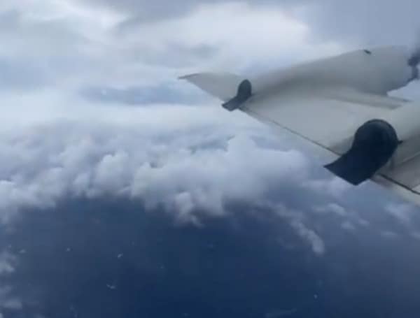
On Monday, NOAA flew through the strengthing storm, and captured the video below from within the eye of Hurricane Ian.
The system is expected to grow by Tuesday afternoon into a Category 4 hurricane with 140 mph winds and 165 mph gusts in the Gulf of Mexico before turning, slowing down its forward speed and making a turn east to Florida’s Gulf Coast.
The center of the storm is expected to pass west of the Florida Keys and approach Florida’s west coast by Wednesday still as a major Category 3 hurricane with 120 mph sustained winds and 150 mph gusts.
“Hurricane conditions are expected along the west coast of Florida within the hurricane warning area on Wednesday morning, with tropical storm conditions possibly beginning by late today,” said NHC forecasters. “Tropical storm conditions are expected in the tropical storm warning area along the southwest coast of the Florida peninsula by this evening, and along the west coast north of the Tampa Bay area and along portions of the east coast of Florida on Wednesday.”

