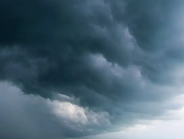
Millions across a dozen states in the central United States are facing a significant threat of severe weather stretching through the Easter weekend. A persistent weather pattern is expected to fuel multiple rounds of thunderstorms capable of producing high winds, large hail, and even tornadoes, according to AccuWeather meteorologists.
The danger zone extends from Texas northeastward through the Ohio Valley and into the Great Lakes region. Experts warn that some communities could experience severe weather for several consecutive days.
AccuWeather Senior Meteorologist Alex Sosnowski highlighted the atmospheric setup driving this prolonged threat.
READ: SpaceX Leads Bid For Trump’s “Golden Dome” Missile Defense System
A building high-pressure system near Florida is clashing with cooler air pushing in from the northwest. This interaction is creating a stalled frontal boundary over the central states, providing the necessary ingredients for repeated severe thunderstorm development.
This zone of stormy weather is situated further northwest than the areas recently impacted by heavy rainfall in the Tennessee and Ohio valleys.
Authorities are urging residents and those traveling for the Easter holiday to remain vigilant and ensure they have access to timely weather updates, especially while driving or during overnight hours.
On Saturday the focus of severe thunderstorms will stretch from west-central Texas through portions of the Ohio Valley. Later in the afternoon and evening, isolated severe storms are also possible across parts of Pennsylvania and New York, with the primary threats being small hail and gusty winds. However, the most intense storms within the broader system are expected to pack large hail, damaging high winds, and the potential for a few tornadoes.
READ: “We Shot Him A Lot”: Suspect Killed, Deputy And Bartow Officer Injured In Violent Shootout
The severe weather threat is expected to escalate on Easter Sunday as a storm system develops along the frontal boundary and begins to track eastward. Meteorologists anticipate a higher likelihood of severe storms compared to previous days.
A potentially large area of severe thunderstorms could form, with powerful winds posing the greatest risk. Ahead of any organized line of storms, isolated severe thunderstorms may also develop, capable of producing damaging hail and tornadoes from northeastern Texas through eastern Kansas and Missouri.
The repeated heavy rainfall from north-central Texas to central Illinois is raising concerns about an increasing risk of flash flooding. This could eventually lead to river flooding along tributaries of the Mississippi River, primarily northwest of the region that experienced significant flooding earlier this month.
Please make a small donation to the Tampa Free Press to help sustain independent journalism. Your contribution enables us to continue delivering high-quality, local, and national news coverage.
Connect with us: Follow the Tampa Free Press on Facebook and Twitter for breaking news and updates.
Sign up: Subscribe to our free newsletter for a curated selection of top stories delivered straight to your inbox.

