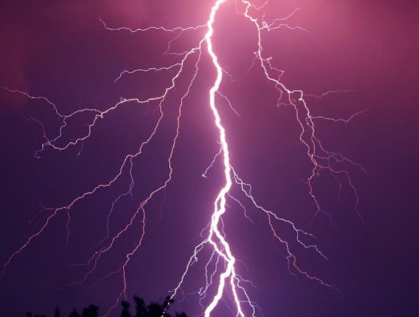
Following a bout of intense thunderstorms that swept through the Great Lakes region, AccuWeather meteorologists are warning of a continued and significant risk of severe weather stretching into the Ohio and Tennessee valleys this weekend, with some storms expected to reach the Atlantic coast.
The volatile weather pattern, already responsible for widespread power outages and potential tornado damage, threatens the lives and property of millions across the central and eastern United States.
The severe weather outbreak began on Thursday near the Great Lakes, where a powerful line of thunderstorms left approximately 450,000 customers without power across Minnesota, Wisconsin, Illinois, Michigan, and northwestern Indiana.
These storms unleashed destructive forces, including hail as large as softballs, wind gusts equivalent to a Category 1 hurricane, and an estimated dozen or more tornadoes. Investigations into the extent of the wind damage are expected in the coming days.
READ: FWC Memo Outlines Potential Black Bear Hunt In Florida Amid First Recorded Fatal Attack
The threat is far from over, with AccuWeather highlighting that close to 150 million people remain at risk from Friday into Saturday. A persistent front pushing southeastward into a zone of warm, humid air is fueling the multi-day severe weather event. Meteorologists caution that some communities in the Midwest could face a “severe weather emergency” through Friday night, potentially leading to casualties and significant destruction.
Friday has already seen the remnants of Thursday’s powerful storms bring downpours and thunderstorms across western and central New York and northern Pennsylvania. However, the focus of the severe weather is shifting southward into the Ohio Valley, with potentially damaging storms also forecast to extend eastward into the mid-Atlantic region.
Of particular concern is an increased risk of long-lived, strong tornadoes anticipated from the central Mississippi Valley through a large portion of the Ohio and Tennessee Valleys. As the severe thunderstorms track eastward, they are likely to coalesce into lines packing high winds and the threat of rain-wrapped “spin-up” tornadoes, particularly affecting portions of Ohio, Kentucky, Tennessee, West Virginia, and northwestern North Carolina into Friday night.
READ: Get Ready: Pinellas County And St. Pete Host Free Hurricane Preparedness Expo
Even areas further east, including upstate New York, Pennsylvania, Maryland, Virginia, and western North Carolina, are not entirely out of the woods on Friday night. While these storms may be past their peak intensity, they still carry the potential for damage and significant power outages due to strong wind gusts, frequent lightning, and flooding downpours.
The severe weather threat is expected to persist into the weekend. On Saturday afternoon and night, the likelihood of dangerous thunderstorms will extend from central Texas and Oklahoma eastward to Tennessee and western Georgia. Notably, major Northeast metro areas such as New York City, Philadelphia, and Washington, D.C., will face their greatest risk of severe weather on Saturday.
While the number of tornadoes on Saturday is expected to be lower compared to Thursday and Friday, AccuWeather emphasizes that even a single, brief tornado striking a populated area could result in devastating consequences. Additionally, storms on Saturday could bring flooding downpours and damaging wind gusts along the mid-Atlantic coast, the Hudson Valley of New York, and parts of western New England.
READ: Get Ready, Florida: Hurricane Season Is Here, Preparation Is Key
By Sunday, the threat of severe thunderstorms is expected to shift westward over portions of the central and southern Plains, with large hail, damaging winds, and flash flooding becoming the primary concerns.
AccuWeather urges residents in the affected areas to stay informed of the latest weather updates and take necessary precautions to ensure their safety and protect their property. The AccuWeather app is available for free and offers critical weather alerts.
Please make a small donation to the Tampa Free Press to help sustain independent journalism. Your contribution enables us to continue delivering high-quality, local, and national news coverage.
Connect with us: Follow the Tampa Free Press on Facebook and Twitter for breaking news and updates.
Sign up: Subscribe to our free newsletter for a curated selection of top stories delivered straight to your inbox.

