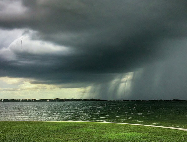
Residents across the Middle and Upper Mississippi and Ohio Valleys are bracing for potentially severe thunderstorms today and Friday as a strong low-pressure system tracks across the Upper Midwest. The National Weather Service has issued alerts, warning of the risk of large hail, damaging wind gusts, and even tornadoes in the affected regions.
Today, the primary threat of severe weather extends eastward from the Upper Mississippi Valley towards the Great Lakes. A cold front sweeping eastward is fueling widespread showers and thunderstorms, creating conditions conducive for intense storm development.
READ: HSI Tampa: ICE Operation Nets 33 Illegal Alien Arrests In Central Florida Worksite Sting
The severe weather threat is expected to shift southward on Friday, focusing on the Ohio and Middle Mississippi Valleys. While storm motion today is predicted to be relatively swift, limiting the immediate risk of widespread flash flooding, slower-moving storms on Friday could lead to scattered instances of heavy rainfall and potential flash flooding in portions of the Middle Mississippi and Ohio Valleys.
Adding to the concern for localized flooding, the Northern Plains could see isolated flash flooding today due to persistent showers on the backside of the low-pressure system, potentially bringing 1 to 3 inches of rainfall.
The Mid-Atlantic region also remains vulnerable, with lingering scattered showers and storms on a weak frontal boundary. Already saturated soils from recent heavy rains in the Mid-Atlantic heighten the risk of impactful flash flooding with any additional rainfall today.
Looking ahead to Saturday, the low-pressure system will gain eastward momentum, pushing the cold front into the Eastern U.S. Simultaneously, a warm front will lift into the Northeast, bringing chances for showers and thunderstorms across much of the East and extending back into the Southern Plains.
READ: AAA Warns Florida Drivers: Exercise Extreme Caution As Stormy Weather Looms
The Pacific Northwest will also see increasing precipitation on Saturday as an energetic frontal system moves onshore, bringing widespread showers and potential high-elevation snow in the Cascades and Northern Rockies.
In contrast to the storm threat in the central U.S., dangerous heat is building across Texas.
High temperatures are forecast to soar into the 90s and 100s, posing a significant risk of heat-related illnesses. Residents in Texas are urged to take precautions, stay hydrated, and limit outdoor activities during the hottest parts of the day.
Meanwhile, temperatures are expected to cool significantly across the North-Central U.S. behind the strong low. Highs could drop 10 to 20 degrees below normal, only reaching the 50s and even upper 40s in some areas.
Above-average temperatures in the 80s and lower 90s are also expected across the Midwest, Mid-Atlantic, and Northeast today and Friday before moderating on Saturday. The West will see a shift to below-average temperatures by Saturday as the Pacific frontal system moves inland.
Residents in the affected regions are strongly advised to stay informed of the latest weather updates and heed any warnings issued by local authorities.
Please make a small donation to the Tampa Free Press to help sustain independent journalism. Your contribution enables us to continue delivering high-quality, local, and national news coverage.
Connect with us: Follow the Tampa Free Press on Facebook and Twitter for breaking news and updates.
Sign up: Subscribe to our free newsletter for a curated selection of top stories delivered straight to your inbox.

