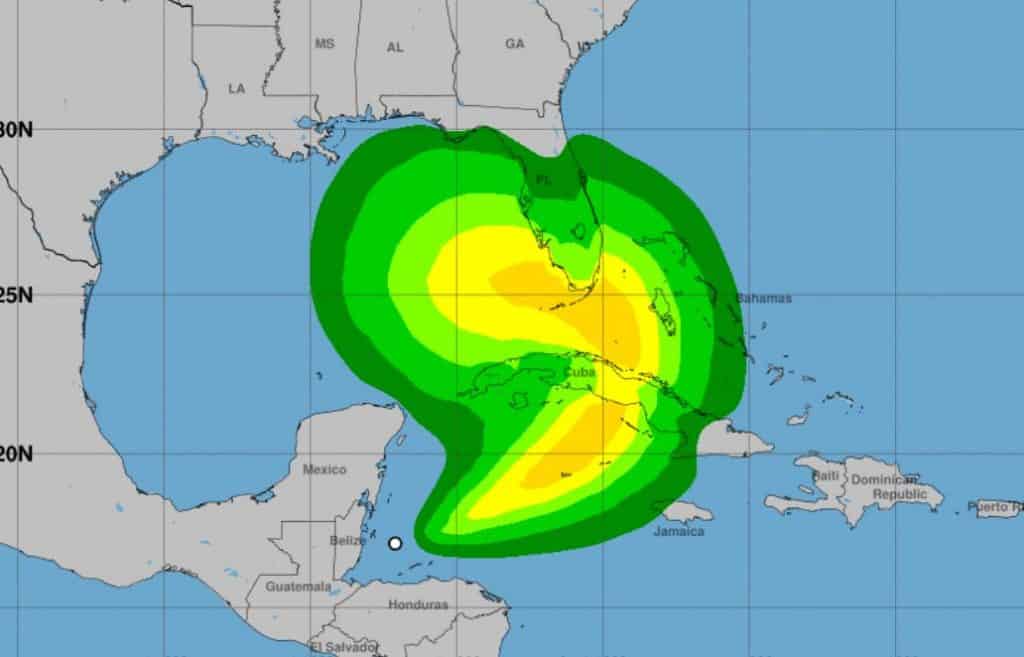
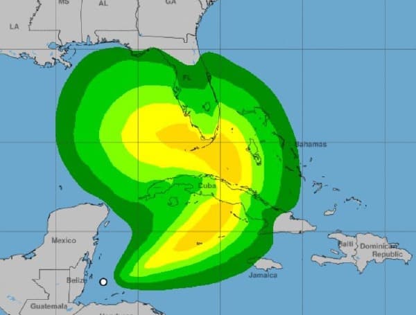
According to the National Hurricane Center, heavy rainfall is diminishing across portions of Central America, although the threat of life-threatening flooding may continue, along with landslides in areas of higher terrain. Heavy rainfall from Eta will move into the Cayman islands and portions of Cuba, resulting in significant, life-threatening flash flooding and river flooding. Flash flooding and urban flooding is also possible for Jamaica and southeast Mexico.
Tropical storm conditions are expected this weekend in portions of the Cayman Islands and Cuba, where a Tropical Storm Warning is in effect.
There is an increasing risk of impacts from wind and flash and urban flooding due to heavy rainfall in portions of southern Florida, the Florida Keys, and portions of the Bahamas this weekend and early next week. Tropical Storm or Hurricane Watches will likely be issued for a portion of this area tonight.

Eta will move over the warm waters of the northwestern Caribbean during the next 48 h or so, and the upper-level divergence is forecast to be quite strong. This should allow some strengthening, although this is likely to be slowed by 20-30 kt of southwesterly vertical wind shear. The intensity forecast for this part of the cyclone’s life is again similar to the previous forecast and lies near the bulk of the intensity guidance. Between 48-72 h , Eta may take on at least some subtropical cyclone characteristics as it merges with the mid- to upper-level low. The HWRF and HMON models still suggest the possibility that a tight inner wind core may develop, however, the guidance has trended weaker since this morning, and the new intensity forecast is above the bulk of the guidance. After 72 h, dry air entrainment is expected to cause the cyclone to weaken.
The wind field of Eta is expected to increase in size during the next few days, and the cyclone will likely produce a large area of tropical-storm-force winds on its north side when it is near Cuba, the Florida Keys, and southern Florida.
The new forecast track requires a Tropical Storm Warning for portions of Cuba at this time. Watches may be required for portions of South Florida and the Florida Keys tonight.


