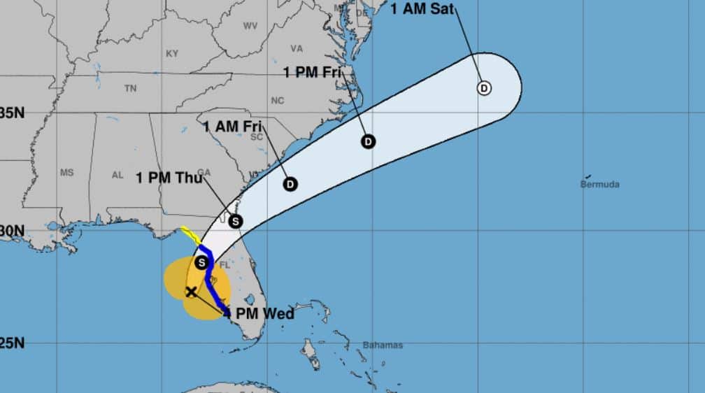
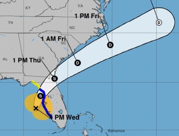
Almost as quickly as Eta regained hurricane status, it then lost it shortly thereafter. Dry air entrainment eroded most of the significant convection around the center this afternoon until a slight resurgence recently developed. However, the overall convective pattern has changed little with the bulk of the convection located primarily northeast through southeast of the center.
There is a danger of life-threatening storm surge along portions of the Florida Gulf Coast from Bonita Beach to Suwannee River, including Tampa Bay and Charlotte Harbor. Residents in this area should follow any advice given by local officials.

Tropical-storm-force winds are expected this evening and tonight along portions of the Florida Gulf Coast from Bonita Beach to Suwanee River, and are possible tonight and early Thursday from Suwannee River to Aucilla River. Interests elsewhere along the Florida Gulf Coast should monitor the progress of Eta.
Heavy rainfall from Eta will continue to spread northward across west and central Florida through Thursday. Additional flash and urban flooding will be possible in south Florida through Thursday, especially across previously inundated areas. Flash, urban, and isolated minor river flooding are expected across portions of west and north Florida through Thursday.

