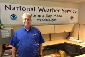
By PAUL CATALA
When Hurricane Donna smacked into southwest Florida in September 1960, meteorologists from the National Weather Service were monitoring as sustained winds of over 100 mph and 5 to 10 inches of rain ravaged the state.
In late August and early September 1985, teams of meteorologists tracked radar while Hurricane Elena hovered near Florida’s Gulf coast with winds peaking at 125 mph. About 1.5 million people − including 300,000 in the Tampa Bay area − were evacuated.
More recently, when Hurricane Dorian skirted Florida’s east coast this month – after devastating the Bahamas − the National Weather Service office in Ruskin kept on full alert, tracking the storm’s movement up the U.S. East Coast.
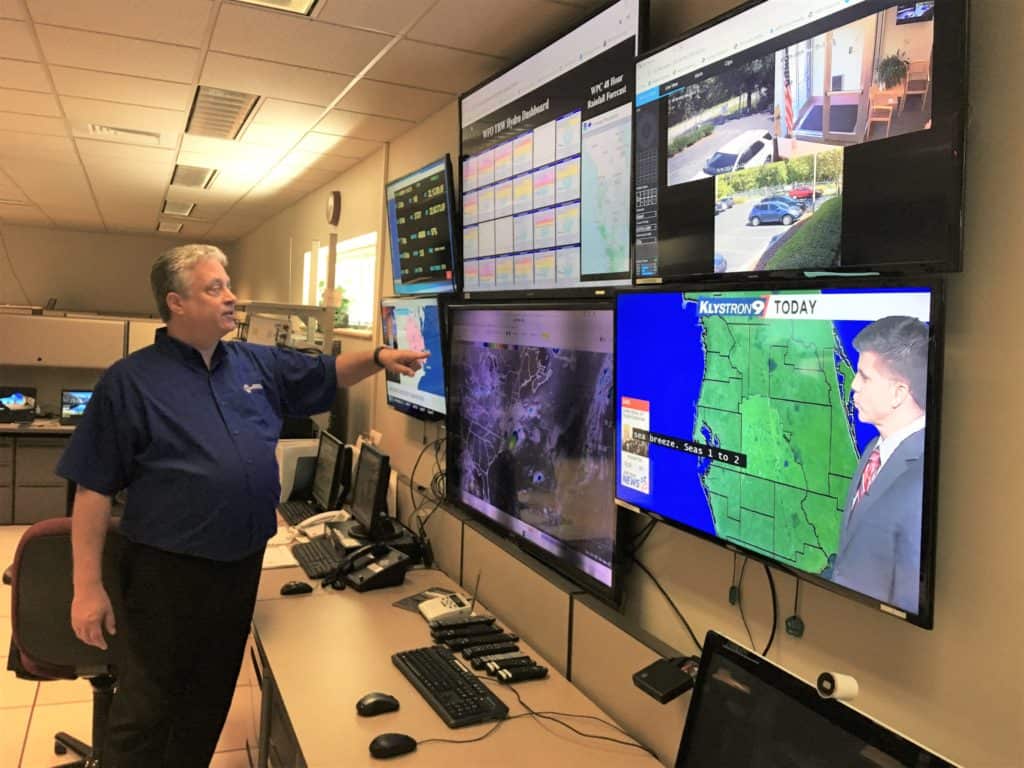
And almost everything the public and news media learn about looming storms or standard days of sunshine emanate from the computer monitors, radar, weather balloons, satellite data and guardian gazes of seasoned scientists inside the Tampa Bay bureau, at 2525 S.E. 14th Ave.
The facility is home to 17 meteorologists, five technicians and an administrative assistant working on 24-7 rotating shifts as they monitor Mother Nature’s presence in the region.
The NWS office in Ruskin is one of seven overseeing Florida weather and weather-related activities in 15 counties from Cedar Key to Fort Myers and inland to Sumter, Polk and Highlands counties. The others are in Melbourne, Miami, Key West, Jacksonville, Tallahassee and Mobile, Alabama.
The weather service is part of the federal National Oceanic and Atmospheric Administration.
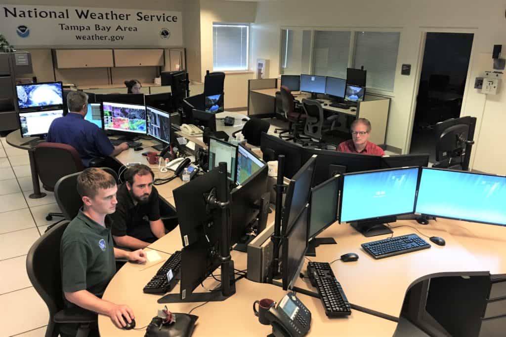
During a recent calm, sunny, humid September morning in the Ruskin office, four meteorologists keep tabs on rows of computers and forecasting. Outside, lines of satellite dishes face spaceward, receiving signals that help advise Florida residents and visitors whether to look for a day at the beach or hunker down while rain splashes on the roof.
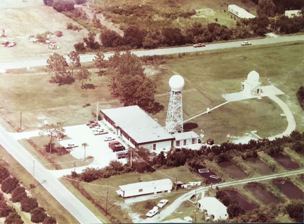
The weather service moved the regional office from Tampa International Airport to Ruskin in 1975, and opened the current 5,466-square-foot building in 1995.
Daniel Noah, the warning coordination meteorologist in Ruskin, says additional staff is added to the bureau whenever severe weather is in the forecast. Forecasts there include probability of precipitation, specialized aviation weather, temperatures, detailed windspeed calculations and heat indexes.
Noah, who has worked for the weather service for 30 years – 17 in Ruskin – says the office staff coordinates forecasts and emergency services with the Storm Prediction Center in Norman, Oklahoma, the National Hurricane Center in Miami and the River Forecast Center in Atlanta.
“They help paint the big picture of what will happen here overall, and then we paint in the small-scale details,” says Noah, who received his bachelor’s degree in meteorology from the University of North Dakota in 1987.
On this day, working with Noah in the Ruskin center are meteorologists John McMichael, Nicole Carlisle, Dustin Norman and Andrew McKaughan, under the supervision of Brian LaMarre, meteorologist in charge.
Among the state-of-the-art meteorological equipment for their use are:
- An integrated inclement weather warning system that coordinates between the weather bureau, emergency management teams and media.
- Dual Polarization Radar, which transmits and receives pulses in horizontal and vertical orientation, giving forecasters better estimates for the size, shape and variety of targets like precipitation.
- Computers with 3-D radar data and high-resolution satellite data.
- A “situational awareness display” which gives meteorologists a better range of scope so no inclement weather situations are missed.
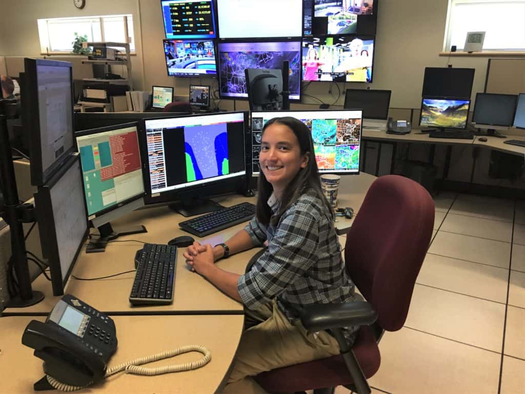
At his station, Norman, who has been in Ruskin 3½ years, pushes his chair back and looks from monitor to screen. He says during Dorian’s recent slow drift northeast, the Ruskin staff stayed focused even as the storm moved away from the state.
“It can get busy and stressful in here, but not crazy; we’ve all been through it so many times, we know what to expect,” he says.
In addition to the Ruskin staff, Rick Davis, an NWS incident meteorologist, is also based in the building. Incident meteorologists are sent usually by airplane to remote locations to support wildfire fighting or other incidents that might involve environmental hazards.
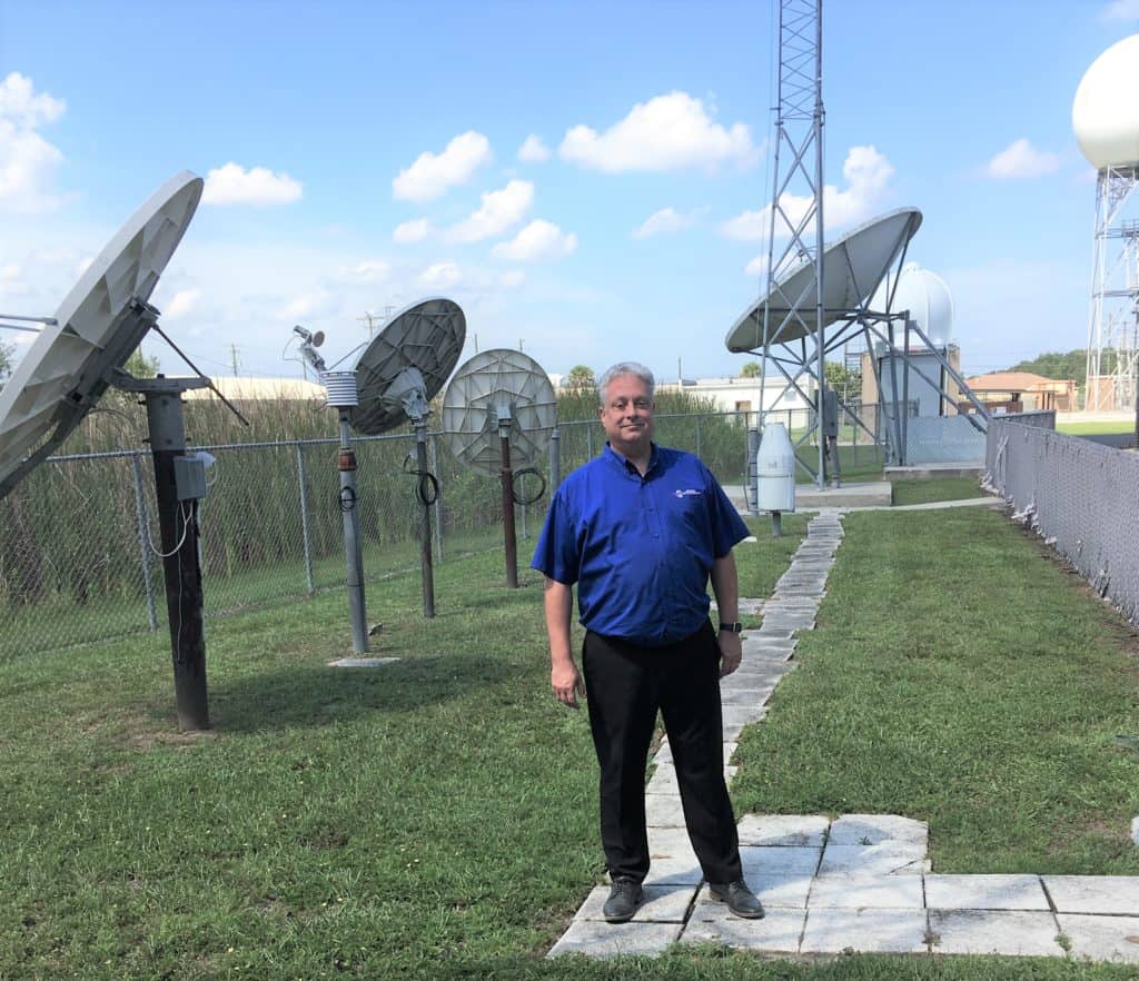
Noah adds the Ruskin center has a social media center to Skype and provide video feeds to meteorological stations in Europe and South America. He says there are public-private partnerships with networks like the AccuWeather commercial forecasting company and The Weather Channel, which take NWS raw data, “make it pretty” and sell it to local television stations.
They’re all points on the meteorological map drawn up daily and nightly from the unassuming NWS center tucked away off a rural road in south Hillsborough County. It’s where, as Carlisle says, the job is never “mundane.”
“It’s never exactly the same each day. Even if it’s nice and quiet outside, there’s always something going on,” Carlisle says.

